NGO Projects
View and add records for NGO UCH projects
Additional project images can be attached to each record. Click on the symbols below to view and add as many images as are required. Upload in in bulk by pressing the 'Upload files' button. Once added, you can edit titles and copyright for all new child images.

| ID | 13 |
|---|---|
| Project Main Image | 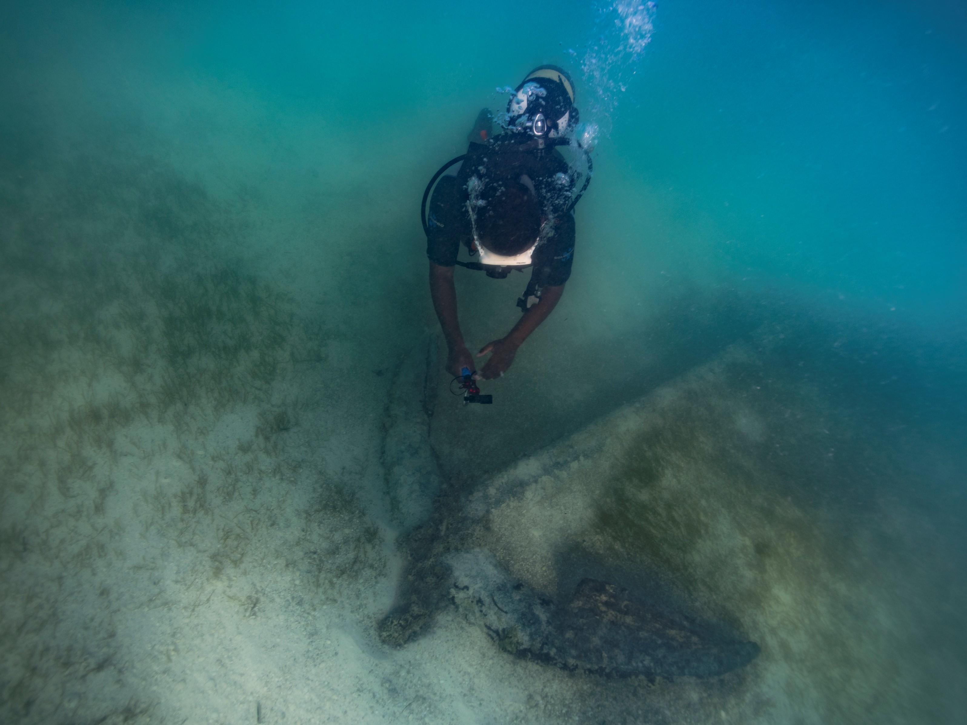 |
| Org ID | Maritime Archaeology Trust |
| Project Name | Rising from the Depths - Salary Bay, Madagascar |
| Project URL | https://risingfromthedepths.com/innovation-projects/marovany-4-4/ |
| Project Description | STUDY AND IMPLEMENTATION OF NETWORK SYSTEM BY FISHERS’ COMMUNITY ACTOR FOR THE MARINE CULTURAL HERITAGE SURVIVAL. CASE OF THE FARMING TOWNSHIP OF TSIFOTA IN SOUTHWEST OF MADAGASCAR RFTD MARKER Study and implementation of network system by fishers’ community actor for the marine cultural heritage su... more |
| Latitude (WGS84) | -22.5498 |
| Longitude (WGS84) | 43.2240 |
| Record Created | 2023-06-12 17:59:50 |
| Record Creator | brandon.mason@maritimearchaeology.co.uk |
| Location | Madagascar |
| Project SDGs |  , , , , , , , , , ,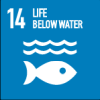 |
| ID | 12 |
|---|---|
| Project Main Image |  |
| Org ID | CINDAQ - Centro Investigador del Sistema Acuifero de Quintana Roo A.C. |
| Project Name | Sagitario La Mina |
| Project URL | https://www.cindaq.org/copy-of-sagitario-la-mina |
| Project Description | In 2017, CINDAQ's dive team found evidence of ancient mining activity while exploring and mapping new tunnels of an underwater cave near Akumal, Quintana Roo, Mexico. The Maya are known to have actively mined pigment and other minerals from the caves of the Yucatan Peninsula, but the ancient mine... more |
| Latitude (WGS84) | 20.6000 |
| Longitude (WGS84) | -87.4000 |
| Record Created | 2022-07-28 19:54:41 |
| Record Creator | cindaq |
| Location | Mexico |
| Project SDGs | NULL |
| ID | 6 |
|---|---|
| Project Main Image | 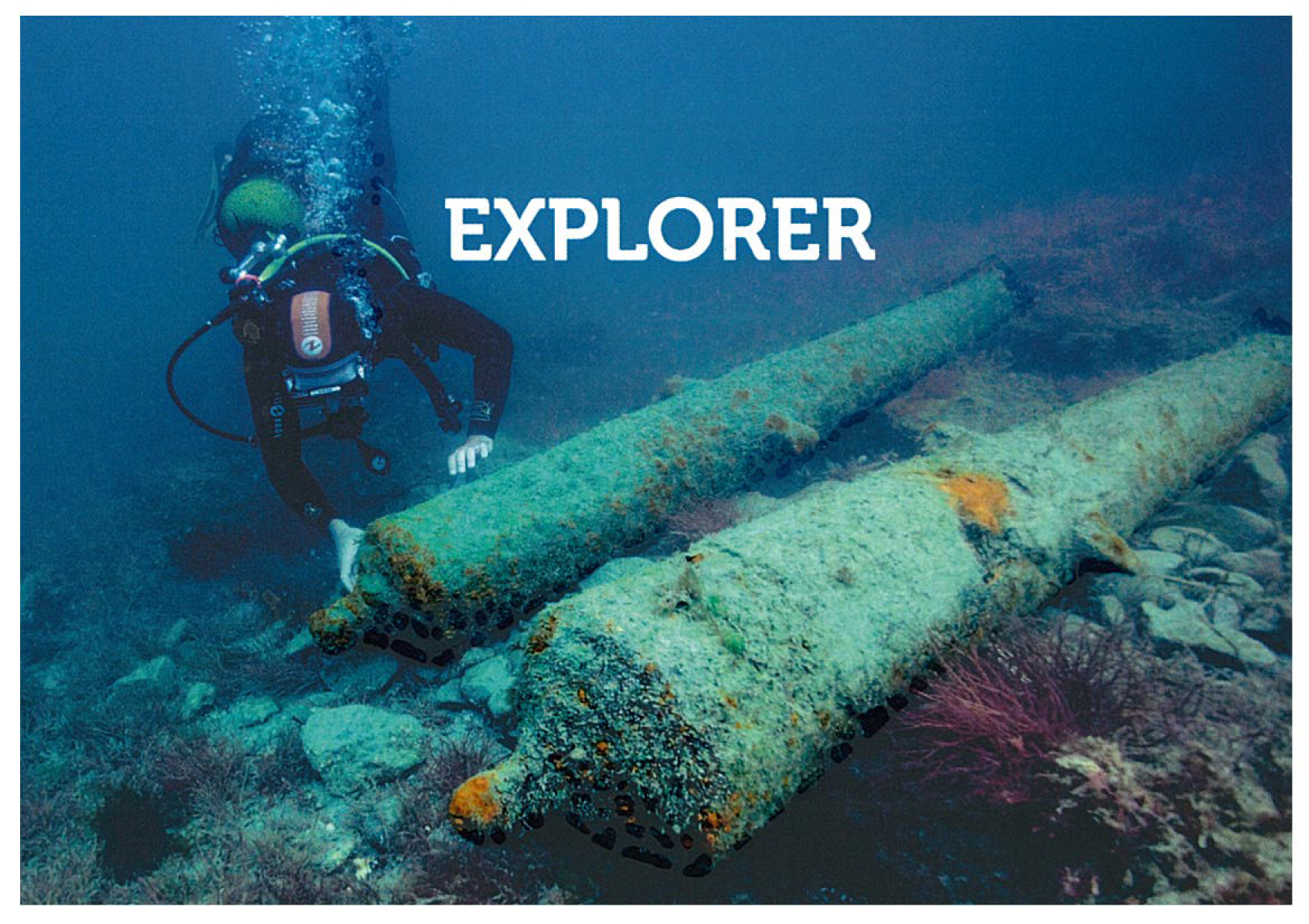 |
| Org ID | ADRAMAR |
| Project Name | The reconstructed archaeological site of Bizeux |
| Project URL | https://adramar.fr/plongee-sur-le-site-archeologique-reconstitue-de-bizeux/ |
| Project Description | The reconstructed archaeological site of Bizeux presents an 18th century privateer wreck. We discover in scuba diving or in apnea, five guns, two arranged in ballast, three arranged in battery for defensive fire; a jas anchor. This reconstructed archaeological site with real artefacts is open to all... more |
| Latitude (WGS84) | 48.6283 |
| Longitude (WGS84) | -2.0267 |
| Record Created | 2021-06-10 13:53:40 |
| Record Creator | HOYAU BERRY Anne |
| Location | France |
| Project SDGs | NULL |
| ID | 5 |
|---|---|
| Project Main Image | 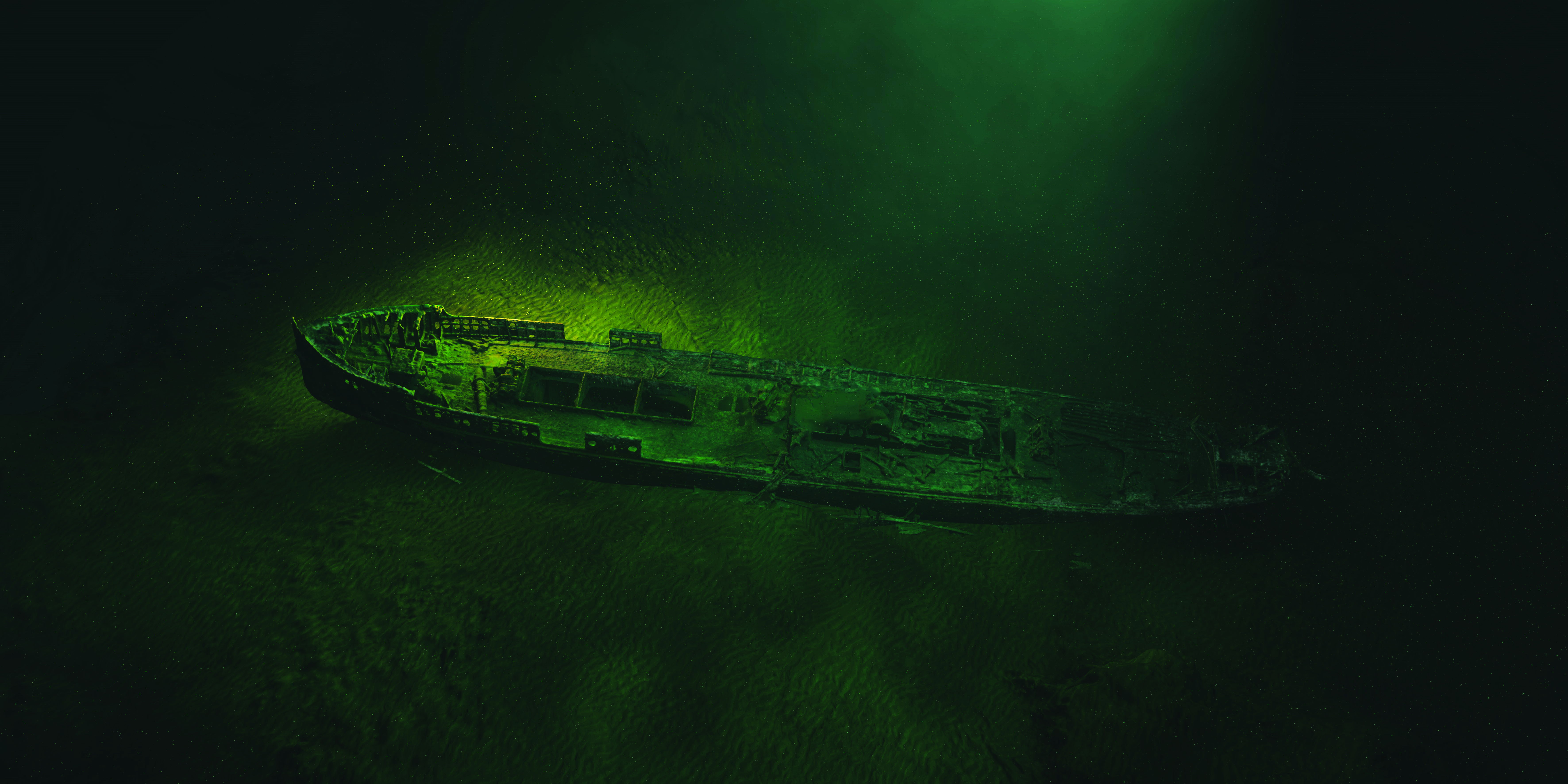 |
| Org ID | ADRAMAR |
| Project Name | Epave du Fetlar |
| Project URL | https://play.google.com/store/apps/details?id=fr.eesab.dpn.fetlard&hl=fr&gl=US |
| Project Description | 3D scanning of the wreck of the Fetlar, wrecked in 1919, off Saint-Malo (Brittany, France). The photogrammetry technique allowed a 3D rendering of the wreck and the implementation of an immersive virtual dive. This technique also allows the archaeological recording of the wreck. |
| Latitude (WGS84) | 48.6845 |
| Longitude (WGS84) | -2.0727 |
| Record Created | 2021-06-10 14:07:39 |
| Record Creator | HOYAU BERRY Anne |
| Location | France |
| Project SDGs | NULL |
| ID | 8 |
|---|---|
| Project Main Image | 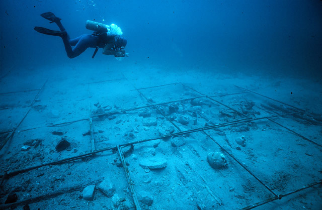 |
| Org ID | Institute of Nautical Archaeology |
| Project Name | Ancient and Early Modern Shipwrecks in the Mediterranean |
| Project URL | https://nauticalarch.org/projects/ |
| Project Description | The Institute of Nautical Archaeology has been actively excavating shipwrecks in the Mediterranean for more than four decades. Notable shipwrecks include those at: Cape Gelidonya, Uluburun, Pabuç Burnu, Tektaş Burnu, Yassıada, Kizilburun, and Serçe Limani. Many of these shipwrecks are displayed in... more |
| Latitude (WGS84) | 37.0344 |
| Longitude (WGS84) | 27.4305 |
| Record Created | 2021-07-19 17:51:35 |
| Record Creator | ina |
| Location | Turkey |
| Project SDGs | |
| ID | 9 |
|---|---|
| Project Main Image | 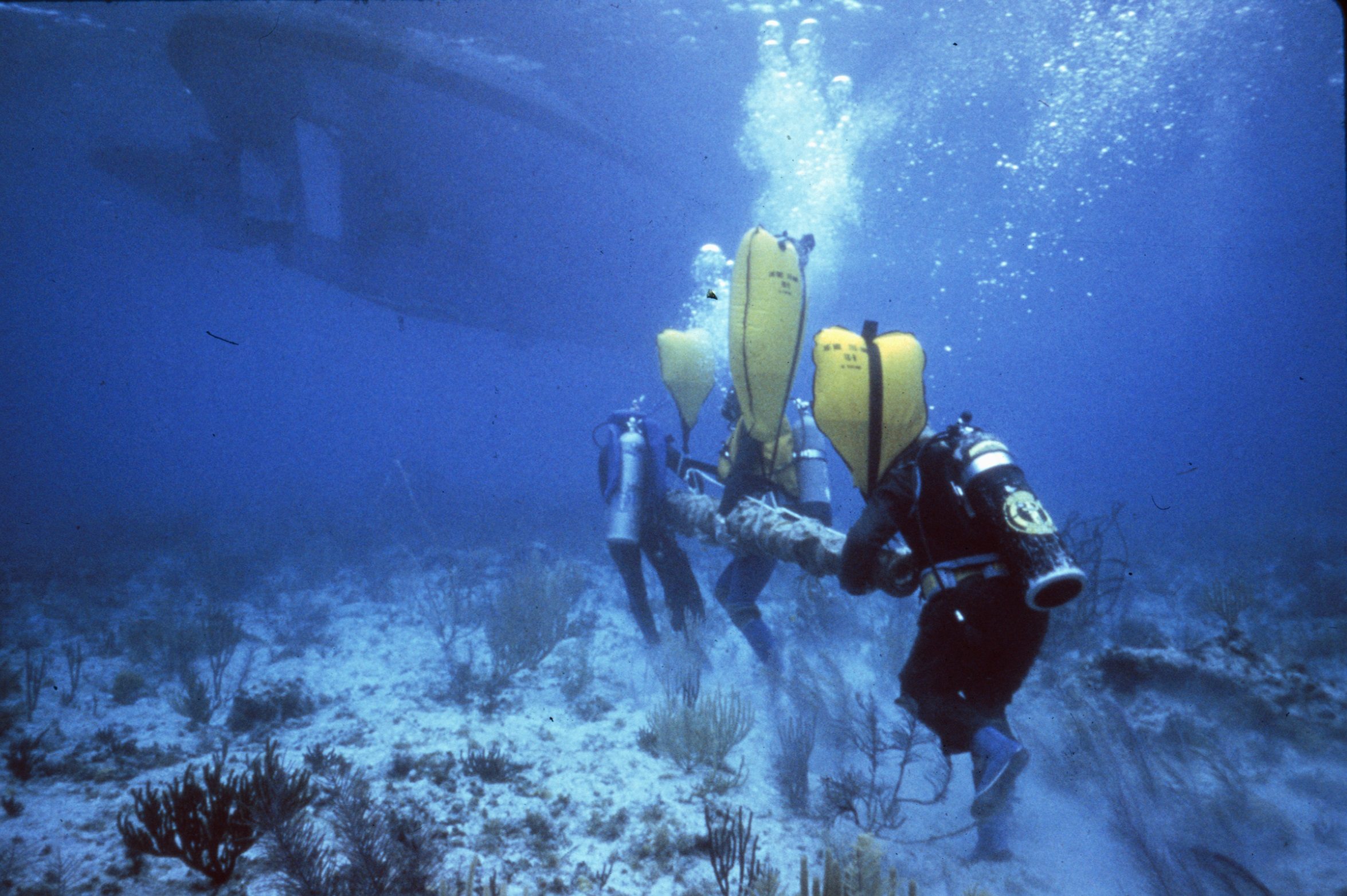 |
| Org ID | Institute of Nautical Archaeology |
| Project Name | Shipwrecks in North America and the Caribbean |
| Project URL | https://nauticalarch.org/projects/ |
| Project Description | Since the 1970s, the Institute of Nautical Archaeology has sponsored and/or directed many underwater excavations in North America and the Caribbean, including those at: Port Royal (Jamaica), Molasses Reef (Turks and Caicos), Rockley Bay (Tobago), Monte Cristi (Dominican Republic), Red River (Oklaho... more |
| Latitude (WGS84) | 30.6188 |
| Longitude (WGS84) | 96.3365 |
| Record Created | 2021-07-19 14:36:33 |
| Record Creator | ina |
| Location | United States of America |
| Project SDGs | |
| ID | 16 |
|---|---|
| Project Main Image |  |
| Org ID | Nautical Archaeology Society |
| Project Name | International Training Partner Scheme |
| Project URL | https://www.nauticalarchaeologysociety.org/Pages/Category/international-system |
| Project Description | We support organisations from around the world in teaching best practices in underwater cultural heritage through our International Training Partner Programme. These organisations have a licence to teach a local version of our accredited training programme which has a core module on UCH legislation ... more |
| Latitude (WGS84) | 50.7888 |
| Longitude (WGS84) | -1.0319 |
| Record Created | 2023-08-24 14:51:10 |
| Record Creator | Peta Knott |
| Location | United Kingdom |
| Project SDGs | , , , |
| ID | 15 |
|---|---|
| Project Main Image |  |
| Org ID | Nautical Archaeology Society |
| Project Name | Identifying Explosive and Environmental Hazards on Wrecks |
| Project URL | https://moodle.nauticalarchaeologysociety.org/ |
| Project Description | Learn how to safely dive on military wrecks and help to identify environmental and explosive hazards on wrecks. This course is a pre-requisite for NAS MOD diving projects. |
| Latitude (WGS84) | 50.7888 |
| Longitude (WGS84) | -1.0319 |
| Record Created | 2023-08-24 14:38:24 |
| Record Creator | Peta Knott |
| Location | United Kingdom |
| Project SDGs | ,, |
| ID | 14 |
|---|---|
| Project Main Image |  |
| Org ID | Nautical Archaeology Society |
| Project Name | HMS Natal |
| Project URL | https://www.nauticalarchaeologysociety.org/mod-wreck-assessments |
| Project Description | The Ministry of Defence (MOD) has multiple historic shipwrecks in UK waters and little is known about the condition of many of these wreck sites. Consequently, the Nautical Archaeology Society (NAS) carried out a programme of non-intrusive condition assessments using the HMS Natal in the Cromarty Fi... more |
| Latitude (WGS84) | 57.6959 |
| Longitude (WGS84) | -4.0891 |
| Record Created | 2023-08-24 14:29:44 |
| Record Creator | Peta Knott |
| Location | United Kingdom |
| Project SDGs |
| ID | 4 |
|---|---|
| Project Main Image | 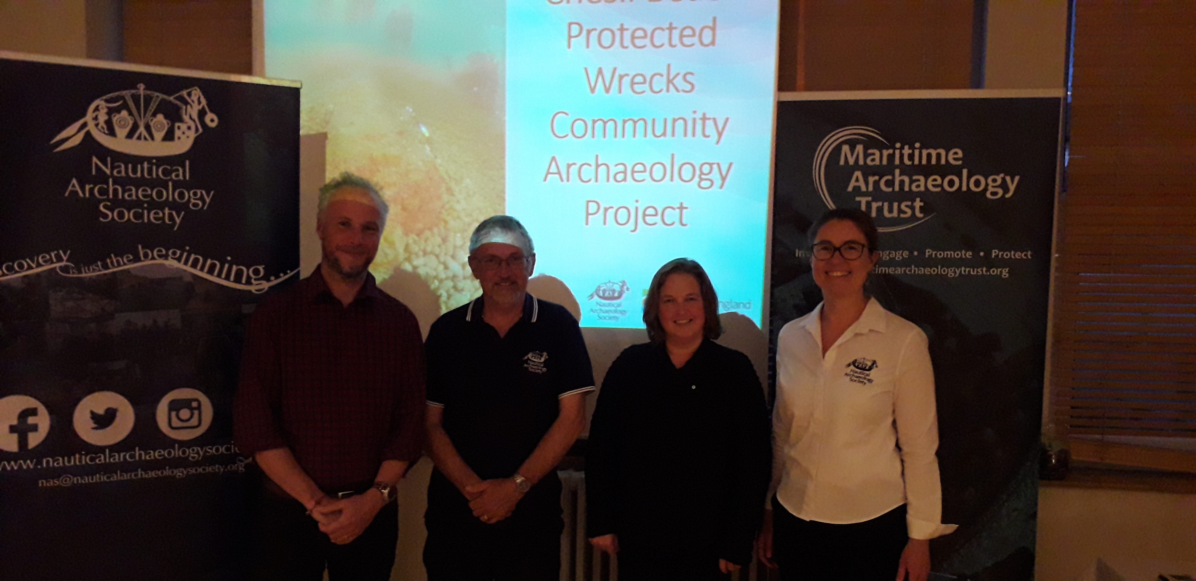 |
| Org ID | Maritime Archaeology Trust |
| Project Name | Chesil Beach Project |
| Project URL | https://www.nauticalarchaeologysociety.org/chesil-beach-protected-wrecks |
| Project Description | Chesil Beach Protected Wrecks Community Archaeology Project In 2019 the Nautical Archaeology Society (NAS) and the Maritime Archaeology Trust (MAT) ran training activities and series of public events based around the Chesil Beach protected wrecks off the coast of Weymouth. Activities were held i... more |
| Latitude (WGS84) | 50.3628 |
| Longitude (WGS84) | -2.3205 |
| Record Created | 2021-06-05 05:30:36 |
| Record Creator | Peta Knott |
| Location | United Kingdom |
| Project SDGs |  ,, ,, |
| ID | 10 |
|---|---|
| Project Main Image | 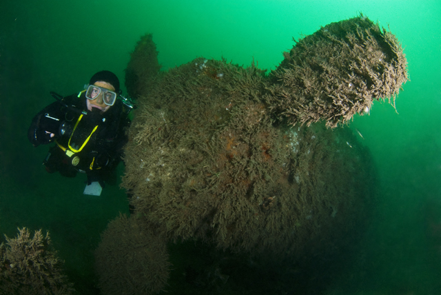 |
| Org ID | Nautical Archaeology Society |
| Project Name | Protected Wreck Days |
| Project URL | https://www.nauticalarchaeologysociety.org/protected-wreck-days |
| Project Description | One of the major aims of the Nautical Archaeology Society (NAS) is to provide divers access to Protected Wrecks and by doing so, fostering a sense of custodianship of underwater cultural heritage. Several times each year, the NAS runs Protected Wreck Days allowing qualified divers to have an extraor... more |
| Latitude (WGS84) | 50.7214 |
| Longitude (WGS84) | -1.0884 |
| Record Created | 2021-12-14 11:38:45 |
| Record Creator | Peta Knott |
| Location | United Kingdom |
| Project SDGs | , |
| ID | 3 |
|---|---|
| Project Main Image | 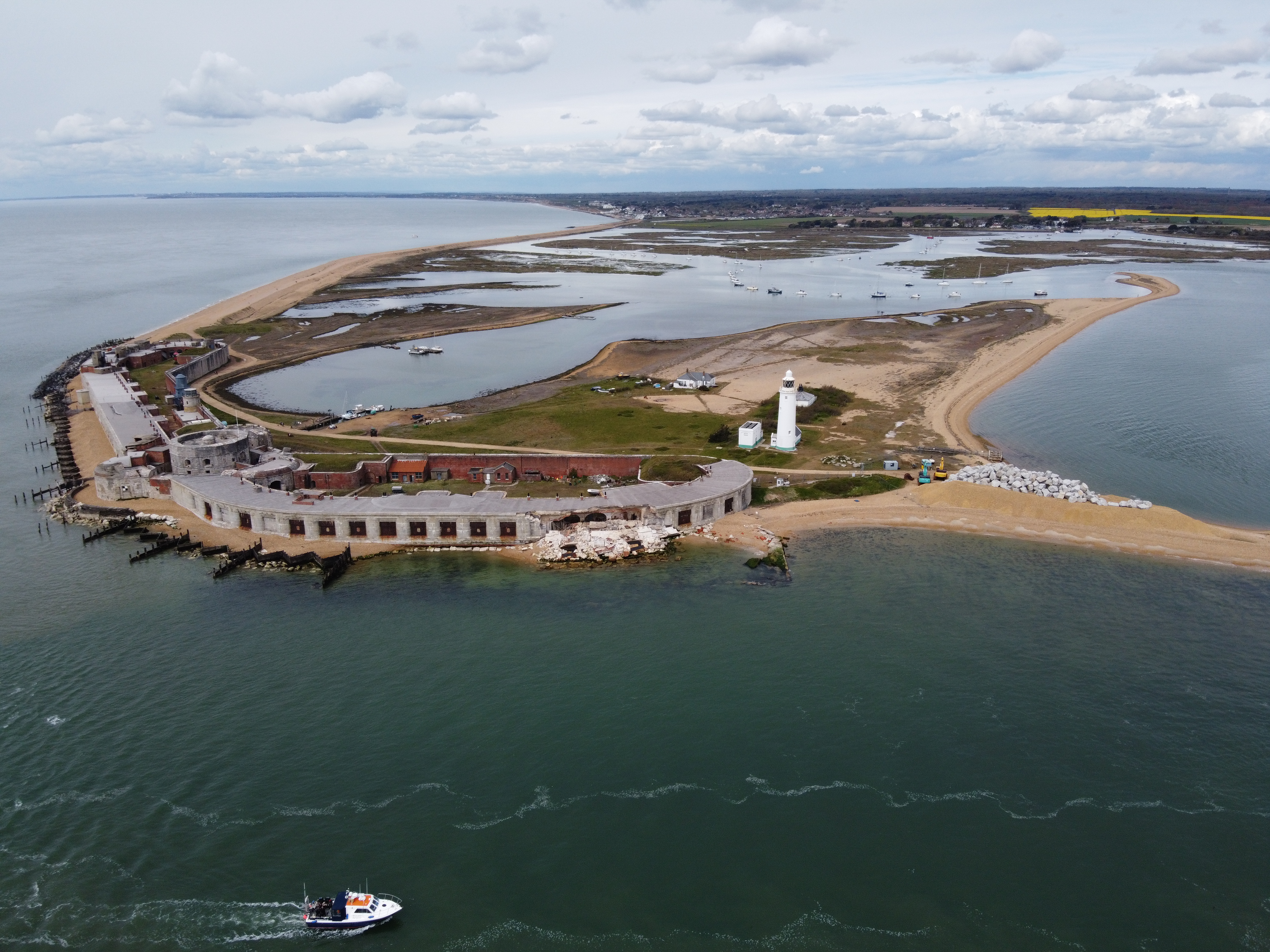 |
| Org ID | Maritime Archaeology Trust |
| Project Name | Sustainable and Resilient Coastal Cities (SARCC) |
| Project URL | https://maritimearchaeologytrust.org/projects-research/sarcc-sustainable-and-resilient-coastal-cities/ |
| Project Description | SARCC will mainstream nature-based solutions (NBS) into coastal management and policy making, where they are integrated into existing grey infrastructure and flood defences. The project builds the capacity of urban leaders, decision-makers and officers involved in coastal flood defences to deploy NB... more |
| Latitude (WGS84) | 50.3000 |
| Longitude (WGS84) | -1.0000 |
| Record Created | 2021-05-31 01:55:18 |
| Record Creator | garry.momber@maritimearchaeologytrust.org |
| Location | United Kingdom |
| Project SDGs | , |
| ID | 11 |
|---|---|
| Project Main Image | .png) |
| Org ID | Nautical Archaeology Society |
| Project Name | Discover Maritime Archaeology eLearning course |
| Project URL | https://moodle.nauticalarchaeologysociety.org/ |
| Project Description | The Discover Maritime Archaeology eLearning course is the entry level to the Nautical Archaeology Society's Education Programme. No prior knowledge or training is required to complete this course. This online course allows people to learn the basic theory of maritime archaeology at their own pace. I... more |
| Latitude (WGS84) | 50.7888 |
| Longitude (WGS84) | -1.0319 |
| Record Created | 2021-12-14 12:04:16 |
| Record Creator | Peta Knott |
| Location | United Kingdom |
| Project SDGs | , |
| ID | 1 |
|---|---|
| Project Main Image | 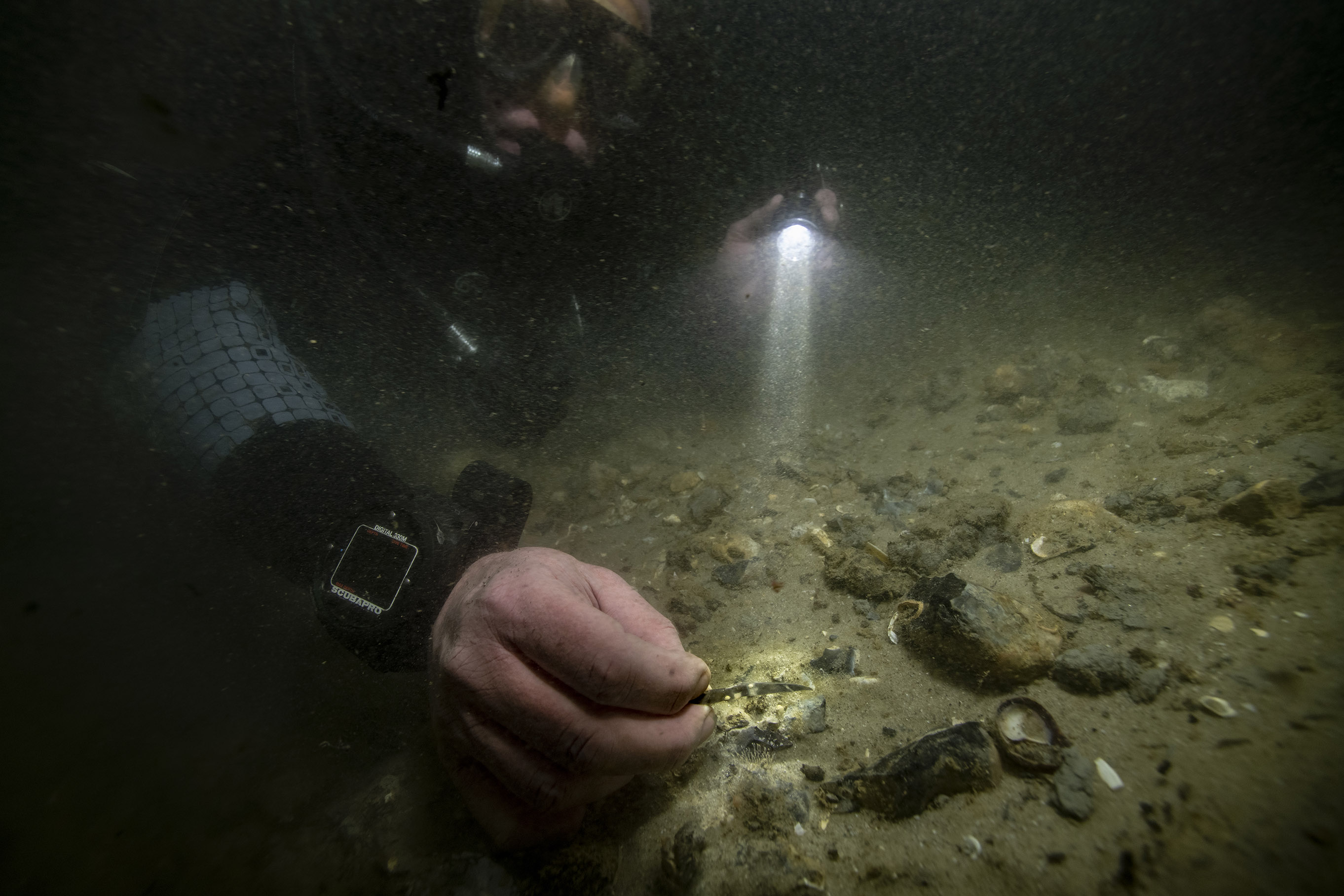 |
| Org ID | Maritime Archaeology Trust |
| Project Name | Bouldnor Cliff Mesolithic Occupation Site |
| Project URL | https://maritimearchaeologytrust.org/projects-research/bouldnor-cliff/ |
| Project Description | The submerged Mesolithic landscape at Bouldnor Cliff lies on the edge of the drowned palaeo-valley and is now 11m underwater, 1km east of Yarmouth on the Isle of Wight. It stretches for a further kilometre west to east and contains five known loci containing archaeological evidence. It lies within t... more |
| Latitude (WGS84) | 50.1235 |
| Longitude (WGS84) | -1.2346 |
| Record Created | 2021-05-20 18:57:14 |
| Record Creator | brandon.mason@maritimearchaeology.co.uk |
| Location | United Kingdom |
| Project SDGs | , |