Project Images
Master record (return to list)
| ID | 1 |
|---|---|
| Project Main Image | 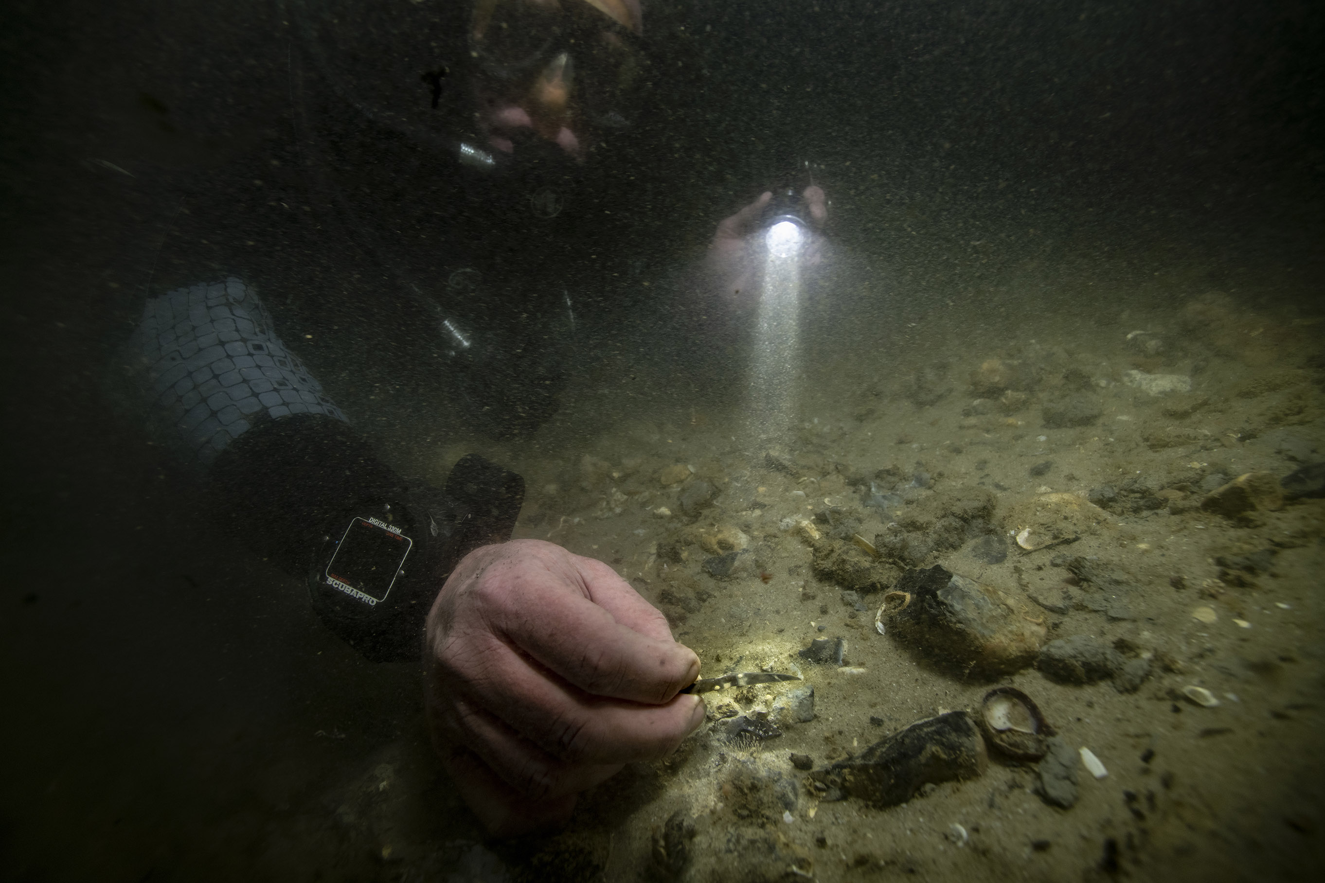 |
| Org ID | Maritime Archaeology Trust |
| Project Name | Bouldnor Cliff Mesolithic Occupation Site |
| Project URL | https://maritimearchaeologytrust.org/projects-research/bouldnor-cliff/ |
| Project Description | The submerged Mesolithic landscape at Bouldnor Cliff lies on the edge of the drowned palaeo-valley and is now 11m underwater, 1km east of Yarmouth on the Isle of Wight. It stretches for a further kilometre west to east and contains five known loci containing archaeological evidence. It lies within t... more |
| Latitude (WGS84) | 50.1235 |
| Longitude (WGS84) | -1.2346 |
| Record Created | 2021-05-20 18:57:14 |
| Record Creator | brandon.mason@maritimearchaeology.co.uk |
| Location | United Kingdom |
| Project SDGs |  , , |


