Project Images
Master record (return to list)
| ID | 12 |
|---|---|
| Project Main Image | 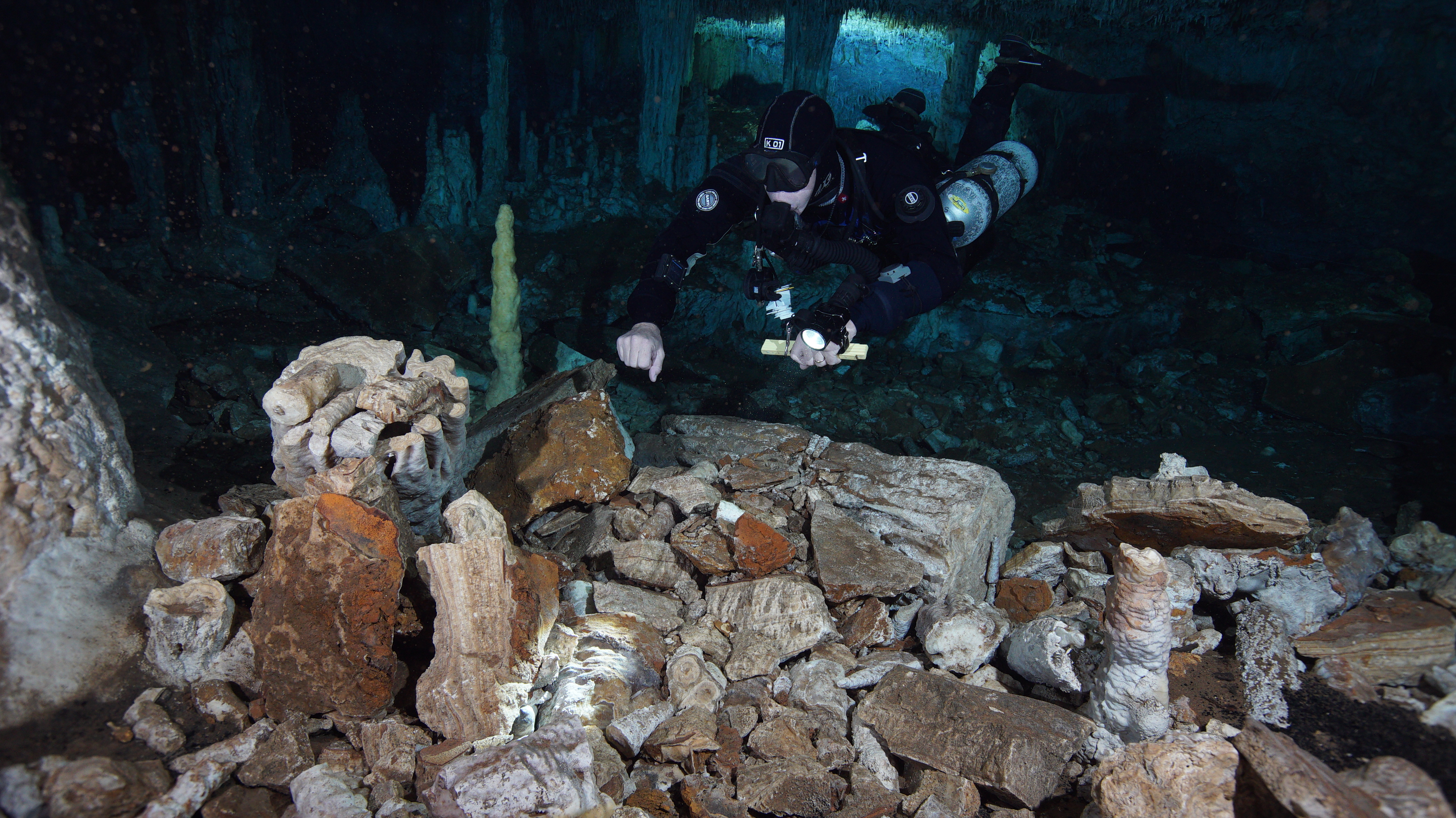 |
| Org ID | CINDAQ - Centro Investigador del Sistema Acuifero de Quintana Roo A.C. |
| Project Name | Sagitario La Mina |
| Project URL | https://www.cindaq.org/copy-of-sagitario-la-mina |
| Project Description | In 2017, CINDAQ's dive team found evidence of ancient mining activity while exploring and mapping new tunnels of an underwater cave near Akumal, Quintana Roo, Mexico. The Maya are known to have actively mined pigment and other minerals from the caves of the Yucatan Peninsula, but the ancient mine... more |
| Latitude (WGS84) | 20.6000 |
| Longitude (WGS84) | -87.4000 |
| Record Created | 2022-07-28 19:54:41 |
| Record Creator | cindaq |
| Location | Mexico |
| Project SDGs | NULL |
| Actions | ID | Image Title | Image File | Image Copyright | Project Id | Record Created | Record Creator | |
|---|---|---|---|---|---|---|---|---|
|
|
35 | Sagitario La Mina | | cindaq.org | 12 | 2022-07-28 17:02:54 | cindaq |