| ID |
Project Main Image |
Org ID |
Project Name |
Project URL |
Project Description |
Latitude (WGS84) |
Longitude (WGS84) |
Record Created |
Record Creator |
Project Location |
Project Sdgs |
|
1
|
|
1
|
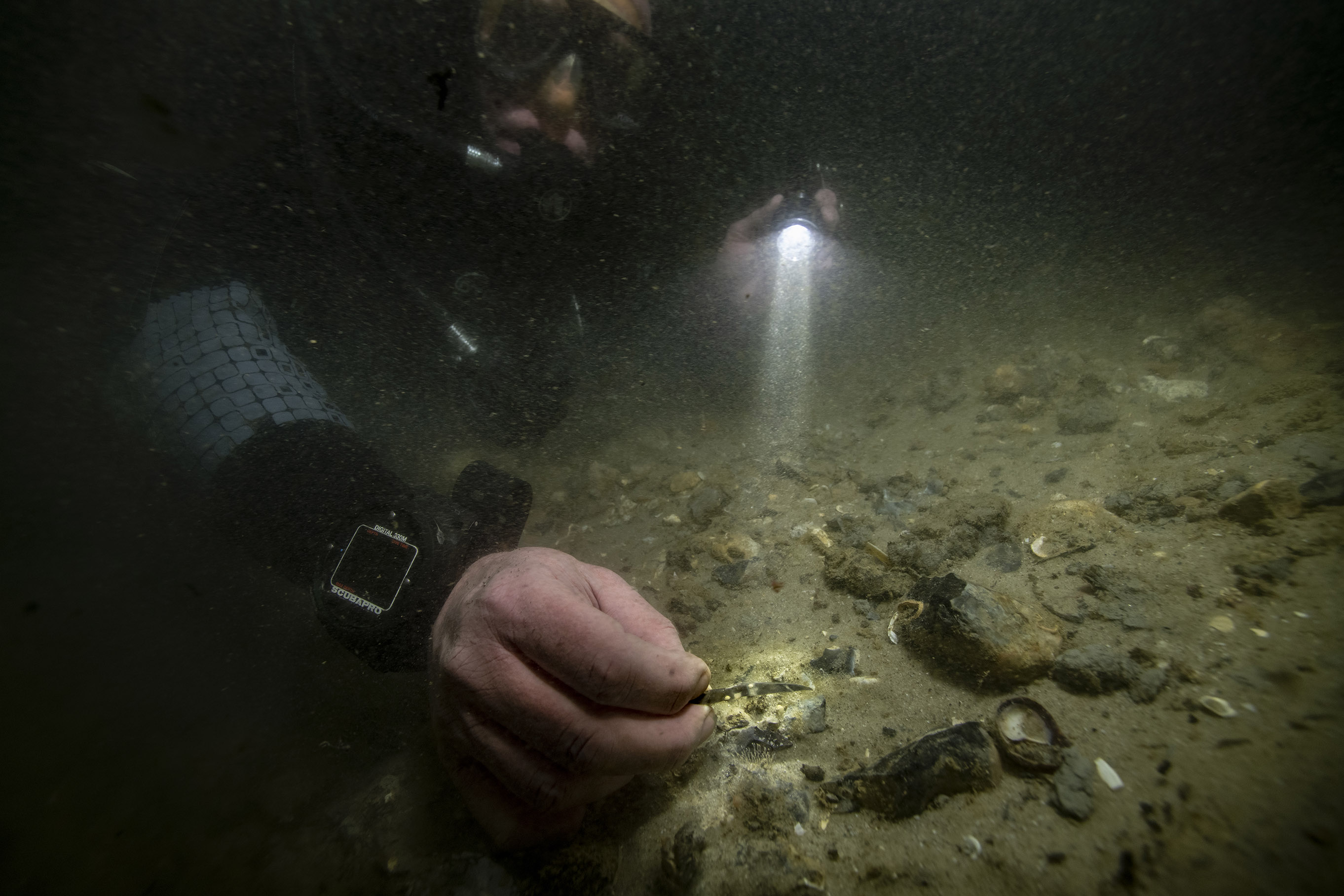
Bouldnor Cliff Mesolithic Occupation Site
|
https://maritimearchaeologytrust.org/projects-research/bouldnor-cliff/
|
The submerged Mesolithic landscape at Bouldnor Cliff lies on the edge of the drowned palaeo-valley and is now 11m underwater, 1km east of Yarmouth on the Isle of Wight. It stretches for a further kilometre west to east and contains five known loci containing archaeological evidence. It lies within the Solent Maritime Special Area of Conservation and is in the Yarmouth to Cowes candidate Marine Conservation Zone.
|
50.1235
|
-1.2346
|
2021-05-20 18:57:14
|
brandon.mason@maritimearchaeology.co.uk
|
254
|
0
|
|
3
|
|
1
|
Sustainable and Resilient Coastal Cities (SARCC)
|
https://maritimearchaeologytrust.org/projects-research/sarcc-sustainable-and-resilient-coastal-cities/
|
SARCC will mainstream nature-based solutions (NBS) into coastal management and policy making, where they are integrated into existing grey infrastructure and flood defences. The project builds the capacity of urban leaders, decision-makers and officers involved in coastal flood defences to deploy NBS and understand the additional benefits that they offer in comparison to traditional grey infrastructure. The project area ranges from Cornwal in southwest England, to the Flemish coastline.
MAT are assessing the under-used archaeological, historical and palaeo-environmental information as data sources to provide insights into the impact of human activities along the coastline from the early Holocene to the mid-20th century. Analysis of the material is demonstrating long-term patterns of coastal change . This knowledge is providing a positive contribution to the coastal management, decision making process and to raise stakeholder awareness. It will be particularly valuable where nature based solutions are to be reinstated and there is a desire to work in tandem with long term natural processes rather than in opposition. The outputs will contribute to the UN Decade of Ocean Science and Sustainable development and the UN sustainable development goals 11, 13 and 14.
|
50.3000
|
-1.0000
|
2021-05-31 01:55:18
|
garry.momber@maritimearchaeologytrust.org
|
254
|
0
|
|
13
|
|
1
|
Rising from the Depths - Salary Bay, Madagascar
|
https://risingfromthedepths.com/innovation-projects/marovany-4-4/
|
STUDY AND IMPLEMENTATION OF NETWORK SYSTEM BY FISHERS’ COMMUNITY ACTOR FOR THE MARINE CULTURAL HERITAGE SURVIVAL. CASE OF THE FARMING TOWNSHIP OF TSIFOTA IN SOUTHWEST OF MADAGASCAR RFTD MARKER
Study and implementation of network system by fishers’ community actor for the marine cultural heritage survival. Case of the farming township of Tsifota in Southwest of Madagascar, Rabekoto Andrinjarisoa Heritiana, Association Marovany.
|
-22.5498
|
43.2240
|
2023-06-12 17:59:50
|
brandon.mason@maritimearchaeology.co.uk
|
152
|
0
|
|
4
|
|
1
|
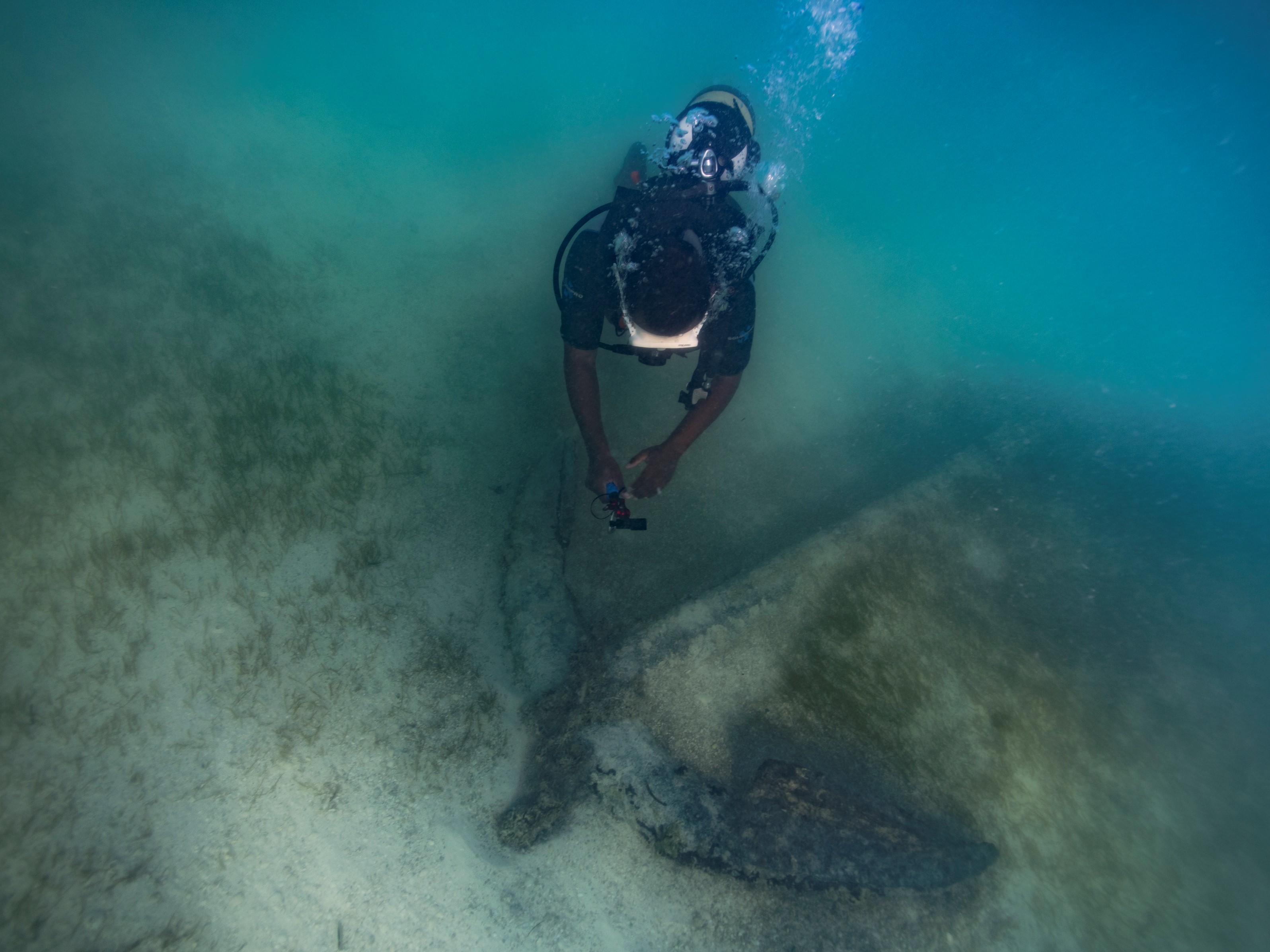
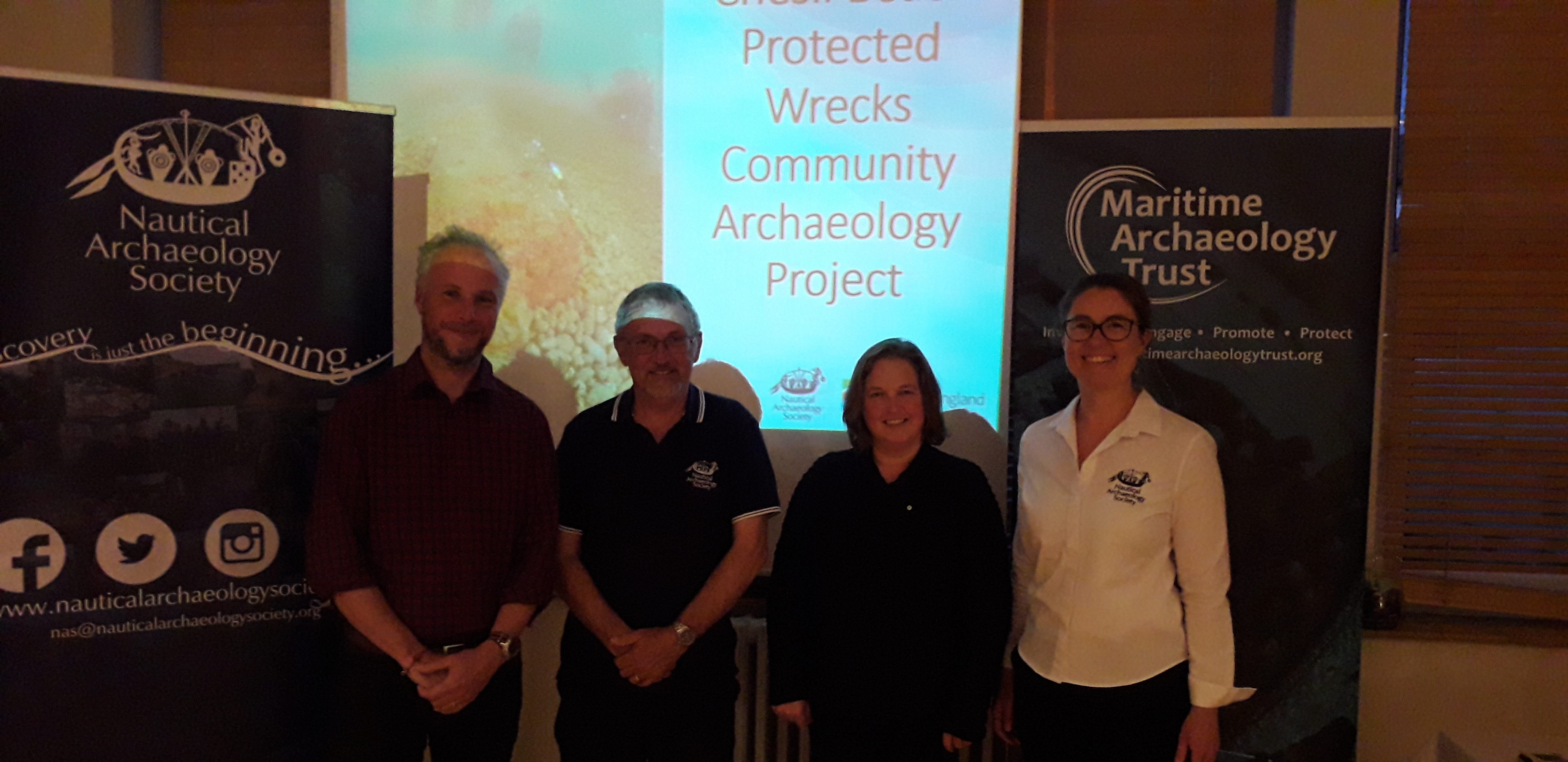
Chesil Beach Project
|
https://www.nauticalarchaeologysociety.org/chesil-beach-protected-wrecks
|
Chesil Beach Protected Wrecks Community Archaeology Project
In 2019 the Nautical Archaeology Society (NAS) and the Maritime Archaeology Trust (MAT) ran training activities and series of public events based around the Chesil Beach protected wrecks off the coast of Weymouth. Activities were held in conjunction with the local licensee(s), to create a team of local wreck custodians. By upskilling local community members, including divers, the wrecks will be respected and further investigated.
|
50.3628
|
-2.3205
|
2021-06-05 05:30:36
|
Peta Knott
|
254
|
0
|